
The Value of Photogrammetry and LiDAR in the Field
- May 21
- 4 min read
A drone used to be a flying camera. Now it's a data tool that can map a jobsite, inspect a bridge, and build a record teams can measure later.
That shift matters because better sensors and faster processing turn short flights into useful outputs. With photogrammetry and LiDAR, government crews and private operators can make faster calls, lower site risk, and keep cleaner project records.
The real change isn't the aircraft alone. It's the full workflow around the flight.
Why drone data is becoming a must-have for modern field work
More field teams need current site data, not last week's notes. Drones help because they cover large areas fast and keep people off ladders, roofs, towers, and active roads.
From flying cameras to smart data collection tools
Modern drones hold position better, fly planned routes, and capture repeatable data. AI-assisted navigation helps avoid obstacles and keeps image overlap consistent. As a result, teams can compare flights over time instead of relying on one-off photos.
That makes drones useful for routine work, not only special surveys. A public works crew can re-fly the same corridor after a storm. A contractor can document weekly progress with less time on site.

Why government and enterprise teams are paying attention now
Pressure is rising on agencies and companies to inspect more assets with fewer delays. Roads, utilities, substations, warehouses, and large construction sites all create a documentation problem as much as a field problem.
Drone programs help by giving managers a shared visual record. They also cut manual exposure for workers, which matters when the asset is high, remote, or hard to shut down.
How photogrammetry and LiDAR are changing mapping and inspections
Photogrammetry and LiDAR solve related problems, but not the same one. Many teams now use both, because photogrammetry gives visual proof while LiDAR gives cleaner geometry and elevation data.

What photogrammetry does well for visual models and measurements
Photogrammetry uses many overlapping photos to build maps and 3D models. It's usually the lower-cost option, and it works best when you need strong visual detail. Teams use it for roof checks, progress reports, stockpile volume estimates, and site documentation.
Because the output looks like the real site, non-technical users can review it quickly. The tradeoff is simple. Heavy tree cover, deep shadows, and hidden ground can limit what the model can show.
Where LiDAR adds value for depth, shape, and hard-to-see areas
LiDAR sends laser pulses and measures distance. That makes it better for terrain, elevation, and exact shape, especially in cluttered areas. Utilities use it for corridor mapping and vegetation clearance. Survey and bridge teams use it when slopes, structure geometry, and hard-to-see surfaces matter.
LiDAR costs more, and the files can be heavier. Still, when accuracy is the priority, or when tree cover blocks the ground, it often pays for itself.
Why processing matters as much as data capture
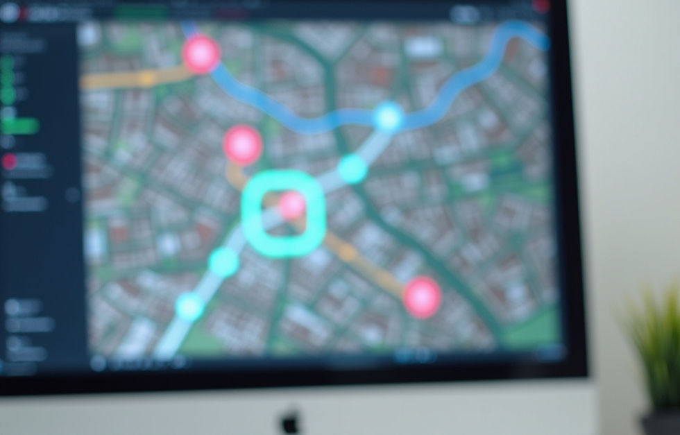
The flight is only half the job. After capture, software stitches images, cleans point clouds, and turns raw files into orthomosaics, measurements, and 3D models. Many teams now use cloud processing because turnaround is faster and sharing is easier.
That processing step is where drone data becomes useful for action. It supports digital twins, progress tracking, change detection, and site records that engineers, inspectors, and project managers can all read.
Better drone programs don't stop at capture. They turn field data into something a decision-maker can use the same day.
Where these drone capabilities are already making a difference
The value shows up when data changes daily work.
Government projects that need better speed, scale, and documentation
For government projects, scale is a big reason to fly. Agencies can map roads, inspect bridges, track utility work, and document conditions before and after construction. During storms or floods, fast aerial records also help crews assess damage and plan response.
For federal or defense-linked work, buying rules can matter too. In some cases, agencies need NDAA-compliant drones or sensors.
Enterprise inspections for safer maintenance and smarter planning
Private operators use drone data to inspect power lines, towers, roofs, solar farms, plants, and warehouses. Instead of sending workers up first, teams can review high-resolution imagery or LiDAR data, spot trouble early, and plan the right repair.

That lowers manual climbs and repeat visits. It also gives maintenance teams better measurements, not only better photos.
Emerging use cases that are growing fast
New use cases are growing because the data is easier to process and share. Digital twins help owners compare a site over time. Environmental teams map erosion, drainage, and tree cover. Mining and agriculture crews track terrain and stockpiles, while disaster teams build damage maps within hours.
The pattern is clear. Drone data is moving past basic inspection and into planning, modeling, and operational decisions.
What will matter next as drone programs keep expanding
Drone programs are still expanding, and the next gains will come from scale.
The next wave will be more automated and more connected
Drone-in-a-box systems, fleet software, and live data links reduce manual steps. They make repeat inspections easier across large campuses, corridors, and utility networks. As BVLOS use grows, teams will cover longer routes without sending crews to every launch point.
AI-based review will also help sort images, flag defects, and route the right files to the right people faster.
Security, compliance, and trust will stay important
Security won't fade into the background. Government and critical infrastructure teams need clear access controls, secure storage, and reliable chain-of-custody rules for flight data. Trust also depends on repeatable workflows.
The strongest programs connect capture, processing, and action without losing control of the data.
Conclusion
Drones are now part of practical field work, not side gadgets for photos. With photogrammetry and LiDAR, teams can map faster, inspect safer, and keep stronger records of what changed on site.
The smartest programs match the right data type to the job. Use photogrammetry when visual detail and cost matter most. Use LiDAR when terrain, structure shape, or hidden ground matters more.
That simple choice is what turns a flight into a better decision.
Blackbird Drone Ops understands the value of operational efficiency, safety, and precise insights. Our team is ready to share our capabilities and deliver that value.


Comments