top of page


Our Technology Advantage
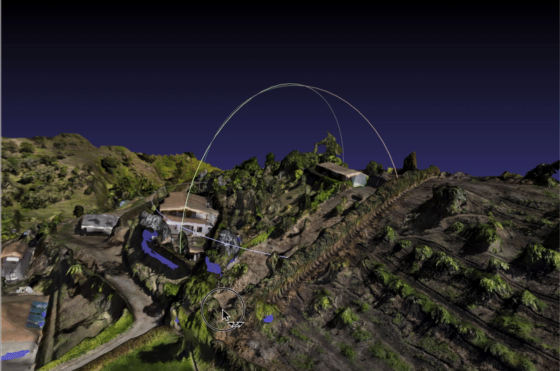
LIDAR PRECISION MAPPING
Our drones equipped with Light Detection and Ranging (LiDAR) systems generate highly accurate 3D models of construction sites with millimeter precision.
KEY BENEFITS:
Topographic Mapping:
Precise terrain models for site planning and earthwork calculations
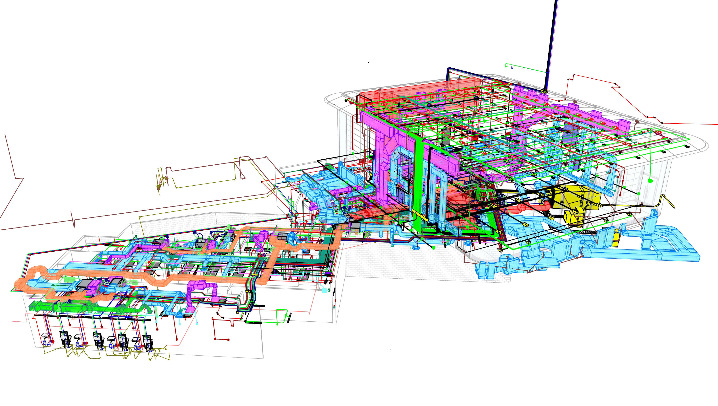
BIM Integration
Seamless real-world data into Building Information Models
As-Built Documentation
Verification of completed work against design specifications
Volumetric Analysis
Precise measurement of stockpile volumes and cut/fill calculations


bottom of page